
Colorado Springs — L3Harris Technologies is preparing to modernize the development, production and testing of weather satellite instruments in a new 9,290-square-meter facility in Fort Wayne, Indiana.
“The new facility means continued evolution and innovation for us in terms of the way we assemble, integrate and test,” Rob Mitrevski, L3Harris Spectral Solutions vice president and general manager, told SpaceNews.
The paperless facility is designed for automated manufacturing.
“It will drive our capabilities, our throughput and our understanding of the flow and quality of the products,” Mitrevski said. “Those are strong steps forward for us as a long-term partner to the National Oceanic and Atmospheric Administration and our other weather customers.”
L3Harris invested $125 million in the space manufacturing and integration facility, which will open after an April 16 ribbon-cutting ceremony.The company has a long history in Fort Wayne.
“We invested several years ago, knowing that the moment would come where our customers would need this,” Mitrevski said.
Providing continuous imagery
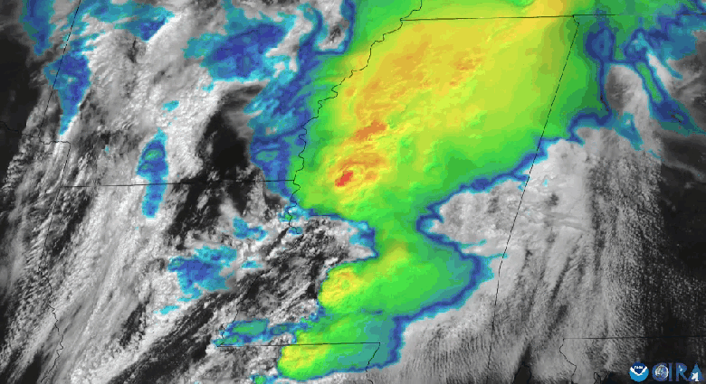
L3Harris builds the Advanced Baseline Imager for NOAA’s Geostationary Operational Environmental Satellite R Series and the supporting ground infrastructure. It also builds the Cross-Track Infrared Sounder for NOAA’s Joint Polar Satellite System.
Earlier this year, L3Harris completed preliminary design review for the next-generation imager for NOAA’s Geostationary Extended Observations (GeoXO) program. NASA awarded L3Harris a $765.5 million contract in 2023 to develop two GeoXO flight instruments in addition to 10 years of on-orbit storage and operations.
The Japan Meteorological Agency relies on L3Harris weather satellite instruments as well. Himawari-10, scheduled to launch into geostationary orbit in 2028, will be equipped with a visible infrared imager and a hyperspectral infrared sounder supplied by L3Harris.
“Although we’re constantly innovating, we have provided a continuity of weather imagery,” Mitrevski said. “It’s important for NOAA, the National Weather Service and all the users that those imagery capabilities continue.”